Free shipping on orders over $99
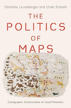
The Politics of Maps

The Politics of Maps

Cartographic Constructions of Israel/Palestine

by Christine Leuenberger and Izhak Schnell
Hardback
Publication Date: 31/07/2020

Share This Book:

24%
OFF
RRP  $181.95

RRP means 'Recommended Retail Price' and is the price our supplier recommends to retailers that the product be offered for sale. It does not necessarily mean the product has been offered or sold at the RRP by us or anyone else.

$138.95
or 4 easy payments of $34.74 with
afterpay
This item qualifies your order for FREE DELIVERY
The land between the Mediterranean Sea and the Jordan Valley has been one of the most disputed territories in history. Since the establishment of the state of Israel in 1948, Palestinians and Israelis have each sought claim to the national identity of the land through various martial, social, and scientific tactics, but no method has offered as much legitimacy and national controversy as that of the map.

The Politics of Maps delves beneath the battlefield to unearth the cartographic strife behind the Israel/Palestine conflict. Blending science and technology studies, sociology, and geography with a host of archival material, in-depth interviews and ethnographies, this book explores how the geographical sciences came to be entangled with the politics, territorial claim-making, and nation-state building of Israel/Palestine. Chapters chart the cartographic history of the region, from the introduction of Western scientific and legal paradigms that seemingly legitimized and depoliticized new land regimes to the rise of new mapping technologies and software that expanded access to cartography into the public sphere. Maps produced by various sectors like the "peace camps" or the Jewish community enhanced national belonging, while others, like that of the Green Line, served largely to divide.

The stories of Israel's many boundaries reveal that there is no absolute, technocratic solution to boundary-making. As boundaries continue to be controversial and the Israeli-Palestinian conflict remains intractable and unresolved, The Politics of Maps uses nationally-based cartographic discourses to provide insight into the complexity, fissures, and frictions within internal political debates, illuminating the persistent power of the nation-state as a framework for forging identities, citizens, and alliances.

ISBN:
9780190076238
9780190076238
Category:
Geopolitics
Format:
Hardback
Publication Date:
31-07-2020
Language:
English
Publisher:
Oxford University Press, Incorporated
Country of origin:
United States
Dimensions (mm):
157x236x22.9mm
Weight:
0.62kg

This title is in stock with our Australian supplier and should arrive at our Sydney warehouse within 2 - 3 weeks of you placing an order.

Once received into our warehouse we will despatch it to you with a Shipping Notification which includes online tracking.

Please check the estimated delivery times below for your region, for after your order is despatched from our warehouse:

ACT Metro: 2 working days
NSW Metro: 2 working days
NSW Rural: 2-3 working days
NSW Remote: 2-5 working days
NT Metro: 3-6 working days
NT Remote: 4-10 working days
QLD Metro: 2-4 working days
QLD Rural: 2-5 working days
QLD Remote: 2-7 working days
SA Metro: 2-5 working days
SA Rural: 3-6 working days
SA Remote: 3-7 working days
TAS Metro: 3-6 working days
TAS Rural: 3-6 working days
VIC Metro: 2-3 working days
VIC Rural: 2-4 working days
VIC Remote: 2-5 working days
WA Metro: 3-6 working days
WA Rural: 4-8 working days
WA Remote: 4-12 working days

Reviews

Be the first to review The Politics of Maps.